Posts

Day 131-The Bad, the Good, and the Awesome
Image
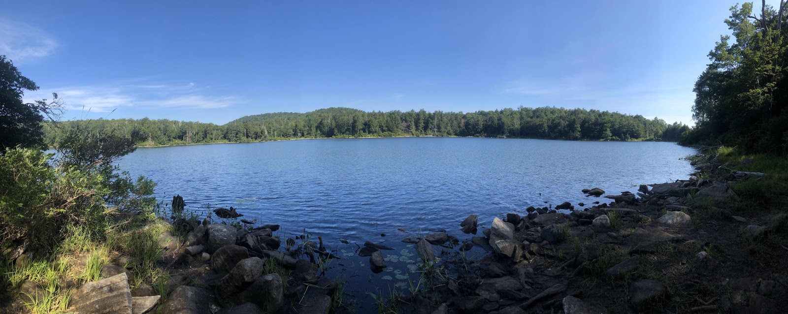
July 27-17.6 miles + .6-Upper Goose Pond to Kay Wood Shelter-AT mile 1569.1 Whew, that was a long day! A grand total of 18.2 miles in 90+ degree heat. I will try to write a coherent post, but I make no promises as I am rather exhausted.  The trail today was nothing special, except that there was a long section where the ups and downs were small. Unfortunately, the trail was still very rooty, so no great speed records were set. The first 8.8 miles were actually quite up and down. We climbed Becket Mtn first thing. There wasn’t even a view at the top. We did come down to a nice pond that we walked along for awhile. We also crossed the Mass Turnpike/I-90. Finerty Pond We ate lunch at October Mtn Shelter, and met some nice kids out day hiking. After lunch was when the major ups and downs were mostly over (except for the end of the day). I was walking along when, BAM! I was down on my knees. Fall number 2 (not bad considering they say most AT thru-hikers fall an average of 15 times...Su...

Day 130-To the Iconic Upper Goose Pond Cabin...

Image
July 26-16.0 trail miles + .5 to the cabin-Wilcox South Shelters to Upper Goose Pond Cabin-AT mile 1551.5 ...But it is closed.  Because we stopped early yesterday, we had to tack on the 1.8 miles we didn’t do. That made for a 16 mile day, but really 16.5 with the additional.5 to the cabin. It’s been awhile since we’ve done that long of a day. Fortunately, it wasn’t quite as hot as forecasted, and there was oftentimes a pretty good breeze. Still, it was a long day. Even Sure Foot’s feet are tired.  The reason we stopped short yesterday was because of uncertain water sources. Turns out, there was plenty. Oh well, better to have the sure thing. In fact, today was really the opposite of yesterday regarding water. We had plenty of decent sources. We even flushed our filters at one creek! We did some climbing today, but not as much as yesterday. I’ve noticed a plethora of roots these last two days. I’ve decided I don’t like them either, but I dislike rocks more. We seemed to climb j...

129-Back to Mosquito Land...uh...I Mean the Trail

Image
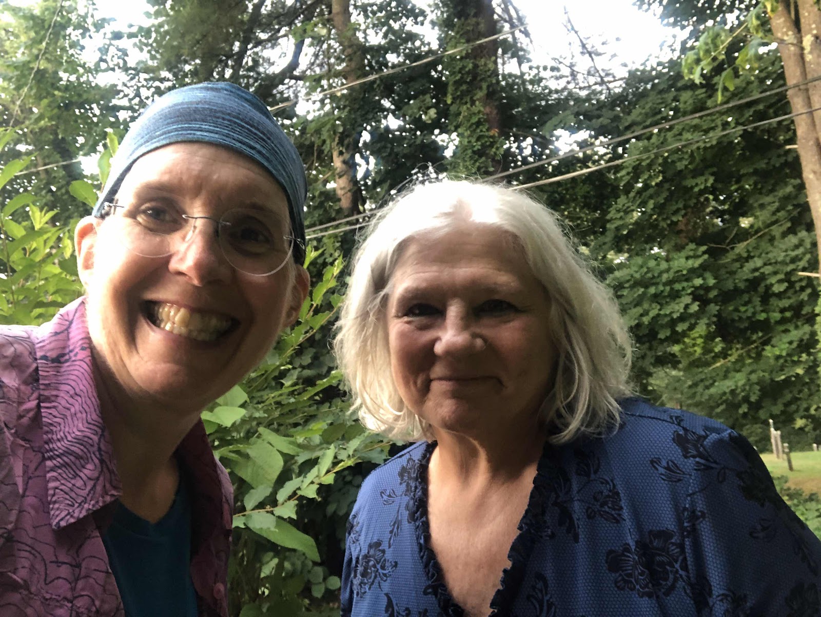
July 25-11.7 miles-Great Barrington to Wilcox South Shelters-AT mile 1535.5 We actually planned to go to the Wilcox North Shelter, but decided we didn’t want to carry extra water for 1.8 miles up and over Mt. Wilcox. But, more on that in a moment.  Roger and Sandy took us back to the trail at 7:30 this morning. We took photos, and said our “see you laters”, then started walking.  Photo courtesy of Sure Foot.  The first bit seemed to just wind around corn fields and along the river.  Oh yeah, it was foggy.  We went out to a road, and across a bridge, just to get to the other side of the river, then seemingly made a u-turn, and went back along the river. All of that was flat.  We finally got back to trail-looking trail, and started the first of a few climbs.  Sure Foot asked if it was Fall already.  This was a crevasse that they were nice enough to build a bridge over.  We reached the first viewpoint of the day, and took a break.  When we ...

Day 128-Zero in Great Barrington

July 24-0 miles Just a short post here. I didn’t even take any photos today.  We enjoyed a pretty restful day. I was on the hunt for a merino short sleeve shirt to replace my town shirt (a polyester thing that stinks the moment I put it on). No luck at the outfitter, but the bike shop had a merino jersey. It was spendy, but I’ll be able to use it when I get home.  We went to lunch in Stockbridge. It was a nice place that allowed dining in (not many restaurants do). No worries about social distancing because no one else was there!  I’ve enjoyed spending time with Roger and Sandy. It has been a good break from the trail. Tomorrow morning we’ll be back at it...

Day 127-Seven Miles to New Friends

Image
July 23-7.3 miles-Glen Brook Shelter to Great Barrington-AT mile 1523.8 Everything was dry by this morning. The day’s terrain looked mostly down. It was, except a bunch of it was steep down. We had an easy climb up Bushnell Mtn. It was the descent that was much longer and harder.  Hazy view Walking along the rock What? I’m supposed to go that way??? We finally made it down the sketchy part.  My kind of trail! However, before too long, we were walking through a section that was thoroughly infested with mosquitos. I had put bug repellent on before we started, but the blasted mosquitoes were swarming all over me. I was walking as fast as I could, but finally, I stopped, took my pack off, and reapplied the bug juice. Then I took my bandana and used it to swat at them while I was walking...very fast. I had my poles in one hand, and flapping the bandana in the other hand.  Eventually, we came out of mosquito land, and walked along  the edge of a pasture.  Thankfully, ...

Day 126-Welcome Home Sure Foot!

Image
July 22-13.5 miles-Salisbury to Glen Brook Shelter-AT mile 1515.9 This morning, Vanessa dropped us back at where she picked us up.  Me and Vanessa Vanessa’s house...such a cool place! While we only had 13.5 miles today, it was an epic climbing day. We started with the climb up Lion’s Head. At the top, I just had to sing a bit of the Circle of Life from The Lion King. Sure Foot had no idea why I was singing. Apparently, he has never seen The Lion King (how is that possible???). Anyway, here was the view.  A pretty good one too! We descended from Lion’s Head. It wasn’t too bad of a descent. After a bit of semi flat trail, we started up Bear Mtn.  This one was a bit longer, and a bit harder.  Oh, there’s those rocks! The pile of rocks at the summit (topped with a Sure Foot) The highest mountain in Connecticut.  The view from atop the rock pile.  The descent down Bear Mtn. was not so much fun.  That’s pretty much straight down. At one spot, Sure Foot said ...