Day 126-Welcome Home Sure Foot!
July 22-13.5 miles-Salisbury to Glen Brook Shelter-AT mile 1515.9
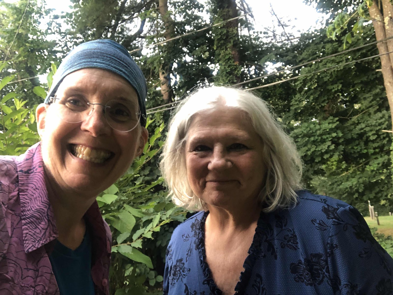
Me and Vanessa

Vanessa’s house...such a cool place!

A pretty good one too!

Oh, there’s those rocks!

The pile of rocks at the summit (topped with a Sure Foot)

The highest mountain in Connecticut.

The view from atop the rock pile.
That’s pretty much straight down. At one spot, Sure Foot said he wasn’t sure there was a good way to get down. When he says that, you can bet it is pretty gnarly. We both had to sit down, and gingerly inch our way down the rocks.

One foot in CT, one foot in MA

The purple line is the state line.
There was this sign for Flat Will and LB.

But we had already been in Massachusetts for almost a mile.

There were numerous pools

And waterfalls

So pretty!


Sure Foot was not a fan.


There were several places where they bolted these steps into the rock. It was a good thing.


Guthook said the climb was “grueling in both directions”. I think it meant whether you were climbing up the south side, or going down the south side, because the trail going down the north side wasn’t that bad. At least it wasn’t as bad as the climb up.
This morning, Vanessa dropped us back at where she picked us up.
Me and Vanessa
Vanessa’s house...such a cool place!
While we only had 13.5 miles today, it was an epic climbing day. We started with the climb up Lion’s Head. At the top, I just had to sing a bit of the Circle of Life from The Lion King. Sure Foot had no idea why I was singing. Apparently, he has never seen The Lion King (how is that possible???). Anyway, here was the view.
A pretty good one too!
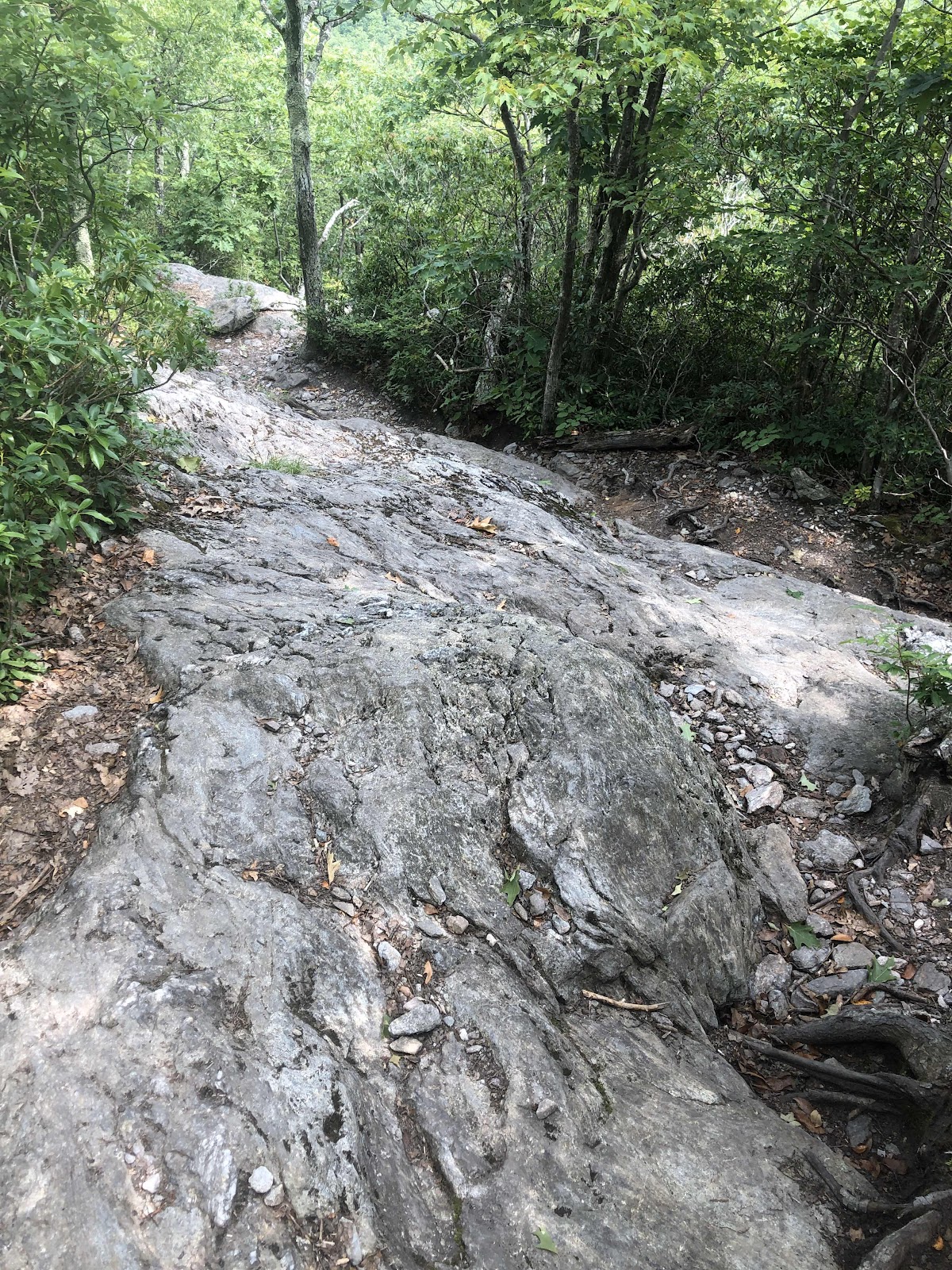
We descended from Lion’s Head. It wasn’t too bad of a descent. After a bit of semi flat trail, we started up Bear Mtn. This one was a bit longer, and a bit harder.
Oh, there’s those rocks!
The pile of rocks at the summit (topped with a Sure Foot)
The highest mountain in Connecticut.
The view from atop the rock pile.
The descent down Bear Mtn. was not so much fun.
That’s pretty much straight down. At one spot, Sure Foot said he wasn’t sure there was a good way to get down. When he says that, you can bet it is pretty gnarly. We both had to sit down, and gingerly inch our way down the rocks.
Near the bottom of Bear Mtn, we crossed into Massachusetts, State number 11, and Sure Foot’s home State. There was no real sign at the actual border, but we made a state line.
One foot in CT, one foot in MA
The purple line is the state line.
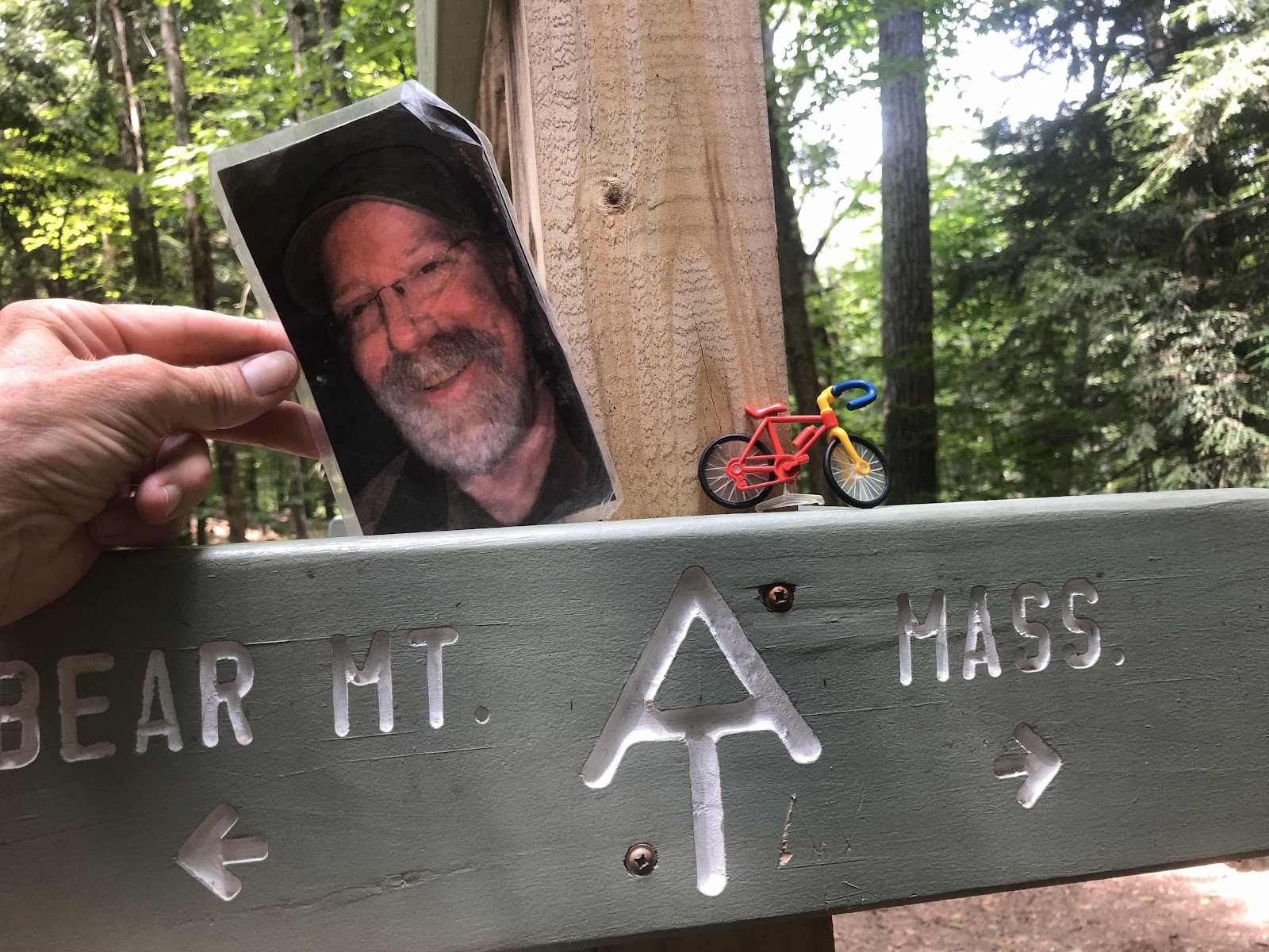
There was this sign for Flat Will and LB.
Later, we came across this sign.
But we had already been in Massachusetts for almost a mile.
After the border, we descended further to Sage’s Ravine. It was pretty. We ate our lunch along the brook.
There were numerous pools
And waterfalls
So pretty!
As we climbed out of the ravine, we were soon climbing up Race Mtn. This was a longer climb than the other two, and took us up to some ledges (aka cliffs). The trail went very close to the edge. If you don’t like heights, you wouldn’t like this.
Sure Foot was not a fan.
Going down Race was very slow too, but there weren’t any more ledges.
At the bottom we almost immediately started the last climb of the day. The was also the most grueling. Everett Mtn was almost as high as Bear Mtn, and is the highest peak in the Taconic Range. It was all rocks.
There were several places where they bolted these steps into the rock. It was a good thing.
I finally reached the top. Whew! I was glad that was over. There used to be a fire tower, but it was torn down.
Guthook said the climb was “grueling in both directions”. I think it meant whether you were climbing up the south side, or going down the south side, because the trail going down the north side wasn’t that bad. At least it wasn’t as bad as the climb up.
There are two shelters within .1 mile of each other. The first one doesn’t have tenting, so we are at the second one. The water source was in between the two shelters on the trail. It was basically just a puddle. I told the frogs that I wouldn’t take all their water.
We made it to the shelter, got our tents up, and dinner eaten just before the thunderstorm. It still raining some, but the thunder is moving off. It’s rather toasty in my tent. I hope the rain stops so I can open the vestibule doors.


Woo hoo! You’re in my home state too!
ReplyDelete