Glacier Peak Wilderness-Days 1 & 2-Getting Started and Making a Discovery
Prologue
Welcome to my blog about my hiking/backpacking. I thought about just using my Super Biker Woman blog, but, for obvious reasons, it didn’t seem to fit. You might be saying...what???? hiking??? backpacking??? What about bike touring??? Never fear, I will continue to travel on my bike (and already did a month long tour this summer which you can read about at www.superbikerwoman.blogspot.com). Anyway, when I got back from Australia last summer, I decided it was time for a new challenge. I saw a video of a family of 8 (6 kids, mom and dad) who were thru-hiking the Appalachian Trail. I thought to myself, if they could do it, maybe I could too). New challenge found!You would think I would, with all the camping I do while bike touring, that I would have all the equipment except a backpack. And, while you would be correct, that equipment was not purchased with the idea of carrying it on my back. It’s great equipment, but not the lightest in weight. Part of the new challenge was researching lightweight backpacking gear. Also, I am a self-professed gear junkie. So, over the last several months, I have been researching and acquiring gear that allows me to have a backpacking setup that is lightweight and works for me.
Once I acquired the gear, of course, I needed to try it out. I applied for a permit to thru-hike the Wonderland Trail around Mt. Rainier. I didn’t get it. My hiking mentor, Robert, suggested the Glacier Peak Wilderness Loop as an alternative. It was of similar distance with slightly less elevation gain. I purchased The Mountaineers Glacier Peak Region 100 Hikes book that had the loop hike in it. Also got the National Geographic map of the area, and planned the hike (well, really, I just went with the suggested 10 day itinerary in the book). My friend, Annette, wanted to go too. The plans were coming together nicely...then I had to have eye surgery for a detached retina. Fortunately, that just delayed our departure by one week.
Annette drove over from Spokane on July 9th. We did our final food preparations, and set out the morning of July 10th for the White River Falls Trailhead northeast of Lake Wenatchee.

Packs in the back, ready to go!
Day 1-All is Good
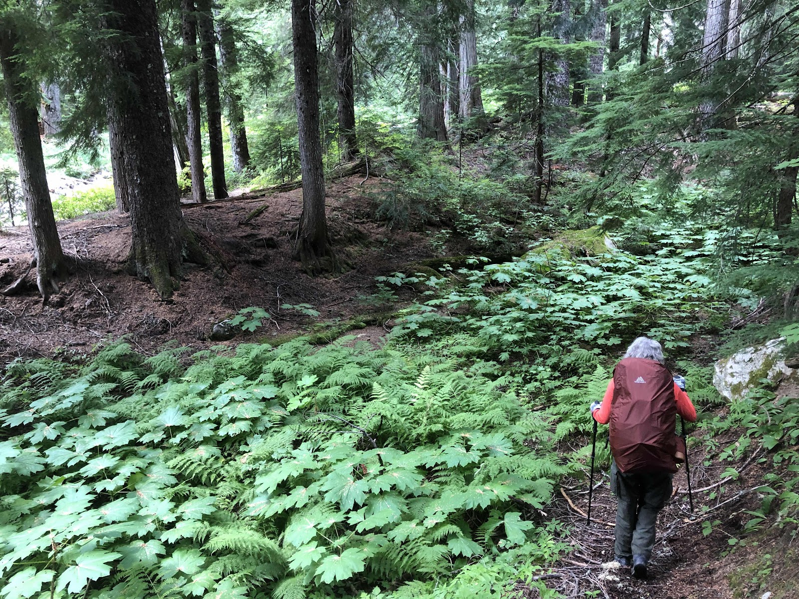
We arrived at theTrailhead at 2:00. The plan for the first day was to just hike a few hours in, then set up camp. We were actually splitting up the first day of the book’s itinerary. We thought it would be good to ease into it. Oh, and one little thing that I noticed, just before we started, was a handwritten note on the area map at the registration box that said, “White River Trail unmaintained at Boulder Creek Trail”. If only we knew then what we know now...


While we were hiking those first few miles, we did encounter some overgrown bits of trail.

However, the trail was still there, we just had to part the bushes with our trekking poles.
We crossed Boulder Creek, and decided to call it a day.


We set up our tents, filtered water, fixed our dinners, and went to bed not long after. My Garmin InReach said we had gone 3.3 miles (we were to learn later that this may or may not have been accurate).
Day 2-Playing Hide and Seek With the Trail
We didn’t get too early of a start on Day 2 because we thought we only had about 5.7 miles for the day, but we were still on the trail by 8:45. The goal was Lightening Creek.
Before long, we came to the junction with the Boulder Creek Trail.

We continued on the White River Trail. Things were going good...for awhile. Then, the trail started to become more and more overgrown. At one point, Annette was ahead of me, and as I came past where she had just walked, I started getting stung by yellow jackets. I tried to move quickly away while slapping at the bees on my legs. I ended up getting stung in five places. Three on one leg, two on the other leg, and one on my finger. Fortunately, I’m not allergic, but they did swell, and hurt like hell for quite some time.
Eventually, the trail disappeared all together. If we had not had the Garmin, we would have probably turned around at this point and gone back. But, with the Garmin, and the accompanying app on my phone that showed us where the trail was supposed to be, we soldiered on.


Stopping for lunch near the river.
A bit of trail.

Pushing through the trees.
Annette was bushwhacking through bushes, trees, and everything looking for the trail. We found a bit of trail that led us to Thunder Creek. We knew we had to cross it. There was no bridge, only some downed trees. I was thinking we were going to have to ford it, getting our feet wet. Annette really didn’t want to get her boots wet. She tried to get up on one of the trees, but it wasn’t safe. Finally, she realized we were just going to have to wade across.

Actually, it wasn’t too bad.
We continued to bushwhack our way along, trying to stay on the trail on the app, even though there was no trail in front of us. We even met a guy with two dogs coming the other direction. He asked us if we had found the trail. We told him we hadn’t been on a trail for awhile. He also had a Garmin, and was basically doing the same thing as we were, just trying to bushwhack through looking for trail. He had two dogs with him, a big on and a little one. He had spent a lot of time just walking in the river. He would strap the little dog into a harness on his chest. He said he got out of the river to try and find the trail again when it appeared it was 200 feet from the river. He hadn’t found it. We went our separate bushwhacking ways.
At one point, we got down to what seemed like a kind of marshy, but mostly dried up stream bed. We followed it for awhile, but when I checked the app, we were well below where the trail should be. We angled up toward where the trail was supposed to be. By this time, it was getting to be about 6:00. Miraculously, Annette came across the trail. We decided we should probably try to find a place to camp, as it was 6:30. Since we were on the side of the hill, it was tricky to find a flat spot big enough for both our tents. Annette climbed up a bit and found a possible place. There was only enough room (and barely at that) for one tent. Since mine is a 2 person, we decided we would both sleep in my tent.

Tight squeeze, but it worked.
We had also come across Lightening Creek (we had filled up on water there). Garmin said we had come 5.1 miles. It had taken us 10 hours! But, we had found the trail...so we thought...


Comments
Post a Comment