(Temporary Backup) GPW-Day 5-Trying to Make up Miles, and Seeing a...
It was a beautiful night. After the sunset happened in front of one side of my tent, the moonrise happened out the other door. Each night in my Z Packs Duplex tent I left at least two of the four doors open. It helped greatly with condensation. That night was also the first chance to really dry the socks and shoes. My socks were mostly dry by morning. Shoes had a bit more to go.

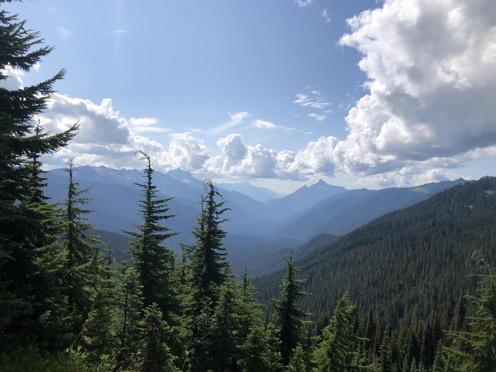
Glacier Peak?

Enjoying an actual trail!

Interesting stripe of white rock.

Shadow me!


Going up.


Saw several marmots.

From the top of Red Pass (see the trail way down there? That’s where we were going).

Annette down below.


Crossing the White Chuck River

Since we were really trying to do some big miles, we decided not to cook lunch (it was also on our minds that we might need to conserve food). Our “lunch” break was short, and we were back to hiking.

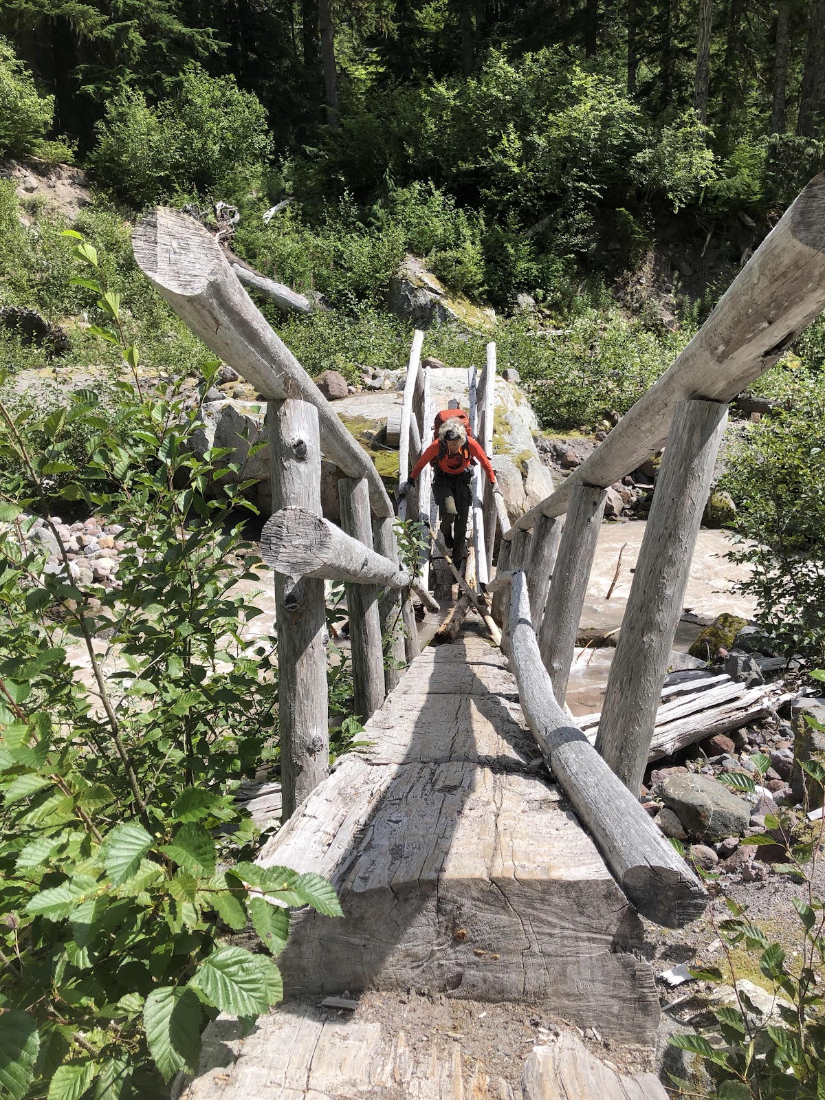
Crossing Kennedy Creek (notice broken bridge)

Fungi


Looking up from Pumice

Crossing Pumice

As we were hiking away from Pumice Creek, Annette looked across the way and said there was a bear over on the hillside. At first I couldn’t see it (vision still not the greatest), but then I could. It was heading up toward where we suspected the trail would be going.
See the speck a little below the tree line?

Looking up toward Fire Creek Pass

Sunset at Fire Creek campsite

It was a very long day, but we did a good job, and we had a plan.
According to my totally inaccurate calculations (because we didn’t really know how far we were), we were behind about 15 miles. Since we had one day coming up that was only supposed to be 4.5 miles, we thought we could divide out the miles and still make it to our resupply on the 15th. We left Reflection Pond at 7:15.
First up was a climb up to White Pass. We weren’t sure when we actually crossed the Pass.
Glacier Peak?
Enjoying an actual trail!
Interesting stripe of white rock.
Shadow me!
Going up.
Saw several marmots.
As we were hiking along, we came to a crew working on the trail. We stopped to talk to them and thank them for maintaining the trail. I casually mentioned that when they were done with this, they might want to do some work on the White River Trail. Bridget, the ranger, said that trail hadn’t been maintained for many many years (no kidding!). It is in Leavenworth’s jurisdiction. She asked what we were doing. When we told her we would be going down the Milk Creek Trail to the Suiattle Trailhead for resupply, she said that trail had not been maintained either, and in addition, the bridge across the Suiattle was gone. Then she told us it would be no problem to continue on the PCT to the Suiattle, then we could get on the Suiattle River Trail to our resupply. We asked her how many miles that would be. She said it was 20 miles from where the Milk Creek Trail went off the PCT. That meant we would have 14 miles more than we had planned! So much for catching up! She then proceeded to tell us that two of the other trails we would be taking had also not been maintained. Well...this put a whole ‘nuther wrench in this hike! Annette immediately said Tim would have to pick us up at Suiattle instead of resupplying us. I was unwilling to give up just yet. I had to think on it for a bit. Part of the issue was that Annette needed to be home by the 22nd for a hunting trip on the 24th. As we left the crew, we at least knew what we had to do to get to the Suiattle Trailhead. What would happen after that was still up in the air (at least for me).
The views continued as we worked our way up to Red Pass.
From the top of Red Pass (see the trail way down there? That’s where we were going).
Annette down below.
My mind was whirling with calculations and trying to think of a plan. I thought, maybe if we could get to Tim on the 16th, I could get my resupply, Tim could take Annette to her truck, and I would hike back to the White River Falls Trailhead via the PCT and Indian Creek Trail (which we’d heard was okay). My goal would be to get there by the 21st, where Tim would pick me up, and go home.
We worked our way down Red Pass, and back into the trees.
Crossing the White Chuck River
Since we were really trying to do some big miles, we decided not to cook lunch (it was also on our minds that we might need to conserve food). Our “lunch” break was short, and we were back to hiking.
We had a monstrous climb of several switchbacks. Annette and I are like the tortoise and the hare. I’m the tortoise as I go slow (being careful), but I keep going (I don’t like to lose my momentum by starting and stopping). Annette hikes faster, but takes more breaks. She was never far behind me.
When we finished the bulk of the climb, we were exhausted. However, Garmin said we had only gone 10.3 miles. We were aiming for 14. We kept going.
We came around to Pumice Creek (Garmin said we were at 12.4 miles). This was where we had planned to be on Day 4. We didn’t actually know we were at Pumice Creek (I didn’t look at the map). There we had a discussion about our plan. We knew we couldn’t make it by the 15th. We also knew we probably couldn’t make it by the16th. We could make it by the 17th, but Tim had to take Nolan to the airport that day, so it would be hard for him to get to the Trailhead. So, that put us at the 18th. I had given up on the idea of hiking back to the White River Trailhead. Tim would be picking up both of us. We hoped we had enough food for the 2 1/2 extra days (Tim would pick us up at noon on the 18th, and then drive directly to Annette’s truck). We sent texts via the Garmin to John and Tim. We had John make us a reservation at Lake Wenatchee State Park where we would stay after getting Annette’s truck. I told Tim to bring camping gear with him.
It was about 5:00, so we decided to hike another hour or so until we found a campsite with water.
Crossing Kennedy Creek (notice broken bridge)
Fungi
Looking up from Pumice
Crossing Pumice
As we were hiking away from Pumice Creek, Annette looked across the way and said there was a bear over on the hillside. At first I couldn’t see it (vision still not the greatest), but then I could. It was heading up toward where we suspected the trail would be going.
See the speck a little below the tree line?
We clapped our poles and blew our whistles. The bear turned and looked our way. Okay, it knew we were here. Annette suggested we get our bear spray out (she had been carrying my bear spray because she wanted to bring it, I wasn’t planning on it. But, then she found a canister on the White River Non-Trail, so I carried my own...who knew if hers would have even worked). Annette was hollering, “Hey Bear!” as we hiked along. At one point, she could see it was still down below. Then we couldn’t see it anymore. The trail dropped over the other side of the ridge, and we felt we could put our bear spray away.
We continued down hoping to reach water soon, and a campsite. We had eaten up a lot of time going slow by the bear. Sure enough, we came to a creek. Turns out it was Fire Creek (I discovered this later in my tent). Just above the creek was a nice campsite. We called it a day. Garmin said we did 13.4 miles, but we later calculated it was more like 16.9. No wonder we were so tired!
Looking up toward Fire Creek Pass
Sunset at Fire Creek campsite
It was a very long day, but we did a good job, and we had a plan.
Comments
Post a Comment