Day 37-Our Longest Day, and a Big Climb Too!
April 24-13.7 miles (but really more like 14)-Clyde Smith Shelter to Stan Murray Shelter-AT mile 384.2
Yep, a view of fog.

Sure Foot says this is the second stage of their life. They go back to the water and become salamanders that are green with red spots. I thought it was quite cute.

This is the delightful trail up to the shelter. It was quite steep.

Roan High Knob Shelter. Another good reason to not stay there is there are not really any good tent sites.

The trail/stream was very rocky.

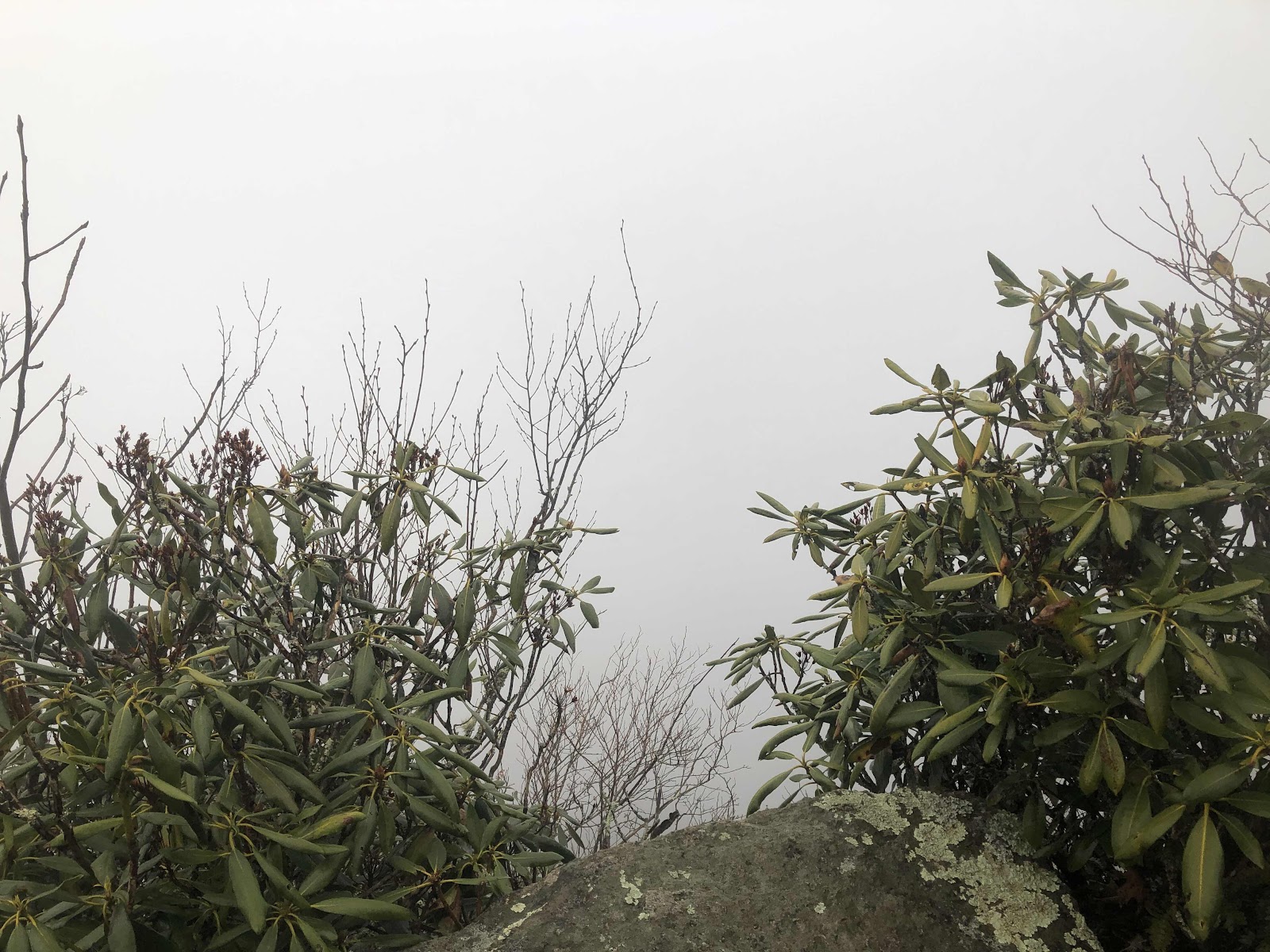
Left of center is the trail we came up.


This is a sculpture of the top of Jane’s bald head!
Turns out it didn’t rain the entire night last night, just a sprinkle here and there. I was able to pack up in between sprinkles. We got up early, and were on the trail by 7:15. We had planned to go over Roan Mtn, then find someplace to camp on the other side. But, I looked at the AWOL Guide, and thought we could make it all the way to the Stan Murray Shelter. Yes, we had to go over Roan (and that was no joke), but with the early start, we were confident we could do it. Besides, it was supposed to rain most of the day, so we might as well keep hiking.
We first had to climb Little Knob. Here was the view from the vista.
Yep, a view of fog.
As I was coming down to Hughes Gap, I spied my first little orange newt.
Sure Foot says this is the second stage of their life. They go back to the water and become salamanders that are green with red spots. I thought it was quite cute.
After Hughes Gap, we pretty much started the climb up Roan. It was pretty long, but graded reasonably, so not a terrible climb. At the top is Roan High Knob Shelter. It is the highest shelter on the AT at 6186 feet. We didn’t want to stay there because it would be too cold and windy. Instead, we ate our lunch there (we hiked 8.5 miles by 12:30).
This is the delightful trail up to the shelter. It was quite steep.
Roan High Knob Shelter. Another good reason to not stay there is there are not really any good tent sites.
We had a long descent down Roan. Most of the time we were walking in a stream (the same was true while we were going up). I was pretty good at staying on top of the rocks, but I’m glad I had my waterproof socks on.
The trail/stream was very rocky.
When we arrived at Carver’s Gap, we checked to see if there were any trash cans, but there weren’t. It was quite foggy, but the rain had stopped for a short bit. Carver’s Gap is right on the border of Tennessee and North Carolina. Once again we were bouncing back and forth between TN and NC.
We crossed the road, and began climbing on a wide gravel path. We got up to a bald, but couldn’t see anything. We came down a bit, then went back up to Jane Bald.
Left of center is the trail we came up.
This is a sculpture of the top of Jane’s bald head!
We went up again to the side trail for Grassy Ridge, but there was no point in checking it out, since we knew what the view would look like.
The descent down to the shelter seem to take forever. It didn’t help that it was muddy, rocky, rooty, and otherwise unpleasant. Finally the shelter came into view. We had made it! 13.7 official AT miles plus .2 to go up and back to Roan High Knob Shelter, and probably another .1 or so up to the parking lot at Carver’s Gap. So, pretty much a 14 mile day! I am tired, for sure, but we are proud of ourselves for doing all that climbing, and finishing in 9 hours.
Tomorrow we should make it to the town of Roan Mtn (or, more precisely, the hostel called The Station at 19E). It’ll be 11.1 miles, and we will be a day earlier than we planned.


Comments
Post a Comment