Day 52-From Rocks to Meadows
May 9-13.4 miles-Pat Jennings Visitor Center to Davis Hollow campsite-AT mile 547.8

Icy stuff
So cold!

Even the May Apples were drooping.

Rocks for a trail.

Not sure what part of this view is Walker Mtn.

First of all, what is a snake doing out in this cold? Secondly, what is a snake doing in the “Little Girls’ Room”? Needless to say, I gave a bit of a squeal. I chose another “stall” to do my business.
Back on the trail today, thanks to our shuttle driver, Carrie. We were going to have to ride in the back of her pickup, but she decided it was too cold, so we sat in the very back of her van. It was much better.
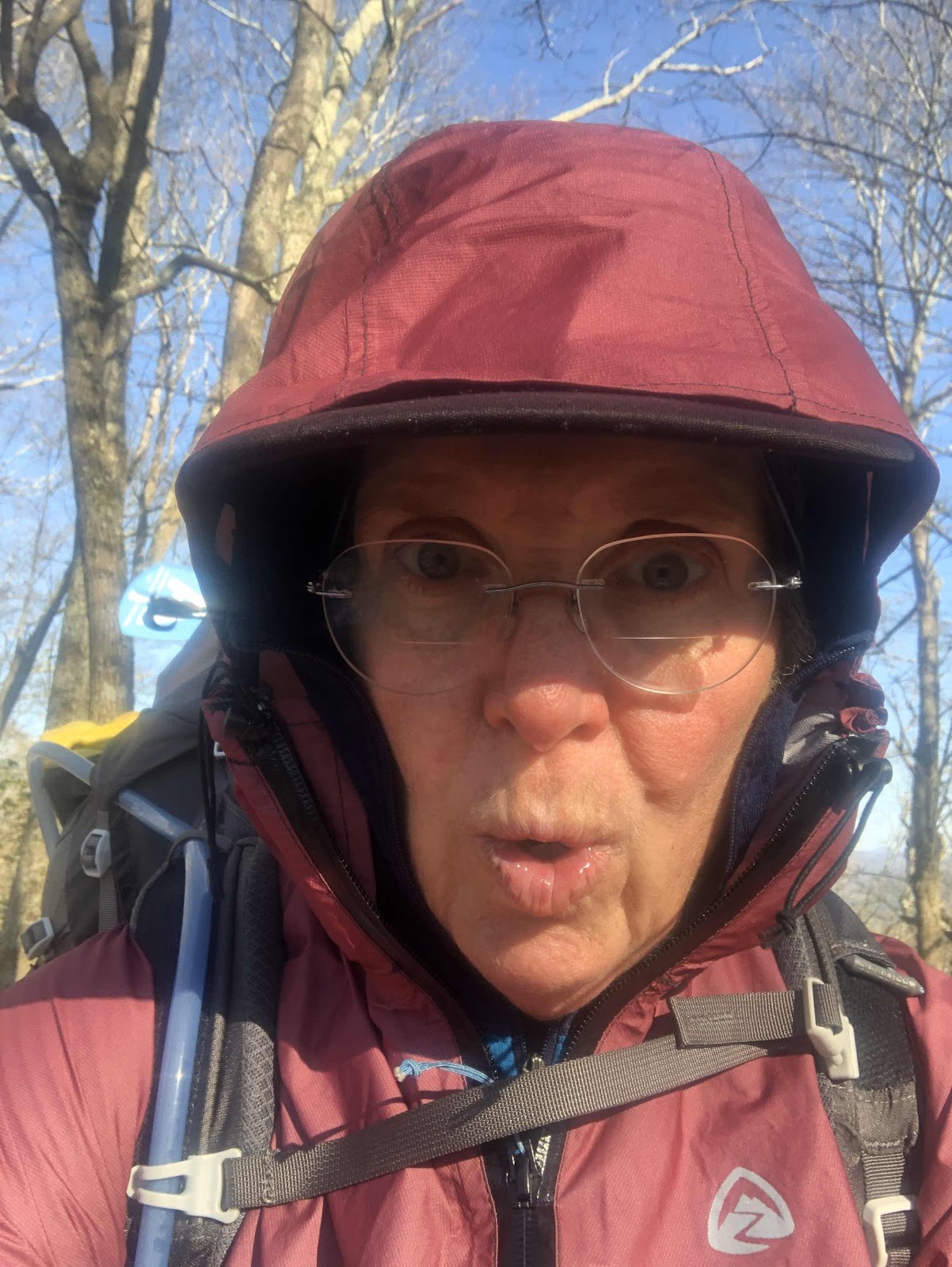
Carrie dropped us back at the trail at 8:15. It was very very cold. In fact, it was freezing...literally. There were little balls of ice on the ground (probably freezing rain/snow/hail from yesterday).
Icy stuff
So cold!
Even the May Apples were drooping.
The wind was also blowing pretty hard, so that didn’t help matters. The trail was fairly rocky, which, as usual, makes for slow going.
Rocks for a trail.
We got one good view just after Glade Mtn. It was supposedly a view of Walker Mtn (which we will go over tomorrow).
Not sure what part of this view is Walker Mtn.
At one point, Sure Foot said he needed to “visit the little boys’ room”. I said I needed to “visit the little girls’ room” just around the corner. As I rounded the corner, and propped my poles against a tree, I saw this.
First of all, what is a snake doing out in this cold? Secondly, what is a snake doing in the “Little Girls’ Room”? Needless to say, I gave a bit of a squeal. I chose another “stall” to do my business.
We stopped at Chatfield Shelter for lunch. It had a nice level picnic table. Good thing we weren’t staying there, because there was really no place for tents.

Just a nice walk in the woods.

Lindamood Schoolhouse.

The grass seems to be taking back the trail.

See the white blaze on the overpass?

Back to the trail (next to the off ramp).

Doing our best to avoid the cow pies.

Hello to you too!

The stile.

Photo of Stronghold.

There was also a woman from Canada who was attacked too. Fortunately, she survived. Carrie said she was coming back to the trail, but probably not this year, due to the virus.

As you can see in the distance, civilization is not far away.
We descended after lunch, and slowly the rocks gave way to smoother trail. It was so much nicer walking.
Just a nice walk in the woods.
There was a Settlers’ Museum, but of course it was closed. We did see this schoolhouse.
Lindamood Schoolhouse.
From here we spent a good amount of time walking through fields/meadows/cow pastures. This is where it seemed that we could see the effect of not as many hikers this year.
The grass seems to be taking back the trail.
Eventually, we popped out onto a road where there was a gas station and a couple of restaurants. Since we didn’t really need or want restaurant food, we just got a snack at the gas station. We also only had 1.7 miles to go...some of which was taken up by road walking under I-81 to get back to the trail (through another field).
See the white blaze on the overpass?
Back to the trail (next to the off ramp).
It was field, woods, field, woods for the remainder of the day. We got to talk to some cows as we passed through their pasture.
Doing our best to avoid the cow pies.
Hello to you too!
At the end of the pasture, we had to climb over the stile. On the other side was a memorial to Ronald Sanchez (aka Stronghold) who was killed by the crazy lunatic on the trail last year. This wasn’t where he was murdered, but for some reason, a memorial was placed there.
The stile.
Photo of Stronghold.
There was also a woman from Canada who was attacked too. Fortunately, she survived. Carrie said she was coming back to the trail, but probably not this year, due to the virus.
Just .2 miles later, and we reached our destination for the day. It is a campsite called Davis Hollow. It’s right on the edge of another meadow.
As you can see in the distance, civilization is not far away.
It’s going to be a cold night. Can’t believe I have to sleep with my filter in my quilt on May 9th!


Comments
Post a Comment